

The Chobe River
The Chobe River runs along the northern border of Chobe National Park. It rises in the northern Angolan highlands, where it is called the Kwando (a Hambukushu name), and travels enormous distances through Kalahari sands before reaching Botswana; here it becomes the Linyanti (a Subiya name) until it reaches Ngoma where it becomes the Chobe.
Like the Okavango and Zambezi, the Chobe's course is affected by fault lines, which are extensions of East Africa's Great Rift Valley. These three mighty rivers carry more water than all other rivers in southern Africa.
There is a close association between the Okavango, the Chobe and the Zambezi. The Okavango River is connected to the Chobe and Zambezi via the Selinda Spillway where high floods from the Okavango escape from the southern end of the Panhandle and flow into the Chobe. A current theory holds that millions of years ago the Okavango, Chobe and Upper Zambezi flowed as one huge river across the middle Kalahari, joined the Limpopo River and emptied into the Indian Ocean. Earth movements stopped this flow and caused a damming back of the river and the formation of the Linyanti Swamps.
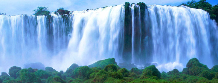
The Chobe River first flows directly south, but at Diyei, the former capital of the Bayei people, it is caught by a rift, drops out onto a swamp and then turns north through Lake Liambezi, finally turning east and passing Kasane before joining the Zambezi at Kazungula. They flow briefly together before spilling over the deep cataract at Victoria Falls.
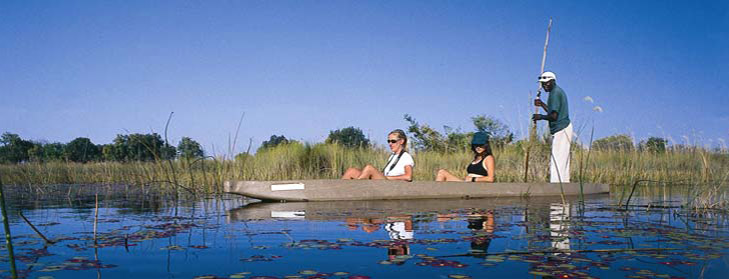
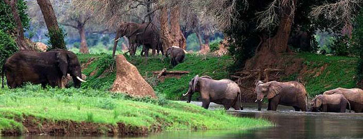
The Chobe twists and turns through swamps of wide reed and papyrus beds, forming hidden lagoons, which sometimes fill with water lilies. Its south bank alternates from open flood plains dotted with pans to thick woodlands. Across the river from Botswana lies the Caprivi Strip - and there the scene of grazing cattle contrasts sharply with the scenes of wild animals in the Chobe National Park.


